
Pinal County ZIP Coverage
County GIS shows geographic postal polygons from Gold Canyon and Apache Junction through Casa Grande, the Copper Corridor, San Tan Valley, Oracle, and the county's rural edges. These polygons are useful for a Pinal County ZIP code directory, but they are not a complete list of every delivery code. Cross-county routes and codes used only for post office boxes need address-level confirmation through the USPS ZIP Code lookup.
| ZIP | Mapped area | Postal label | Local caution |
|---|---|---|---|
| 85118 | Gold Canyon | Gold Canyon | Unincorporated; separate local address grid |
| 85119, 85120 | Apache Junction area | Apache Junction | Check municipal status parcel by parcel |
| 85121 | Gila River Indian Community area | Bapchule | County portals do not replace sovereign records |
| 85122 | Central Casa Grande | Casa Grande | City permit custodian |
| 85123 | Arizona City | Arizona City | Unincorporated despite postal place |
| 85128 | Coolidge | Coolidge | Delivery and city areas may differ |
| 85131 | Eloy and farm area | Eloy | Mixed city and rural delivery |
| 85132 | Florence and nearby county | Florence | Broader than town limits |
| 85135 | Hayden vicinity | Hayden | Near Gila County and Winkelman |
| 85137 | Kearny | Kearny | Copper Corridor |
| 85138, 85139 | Maricopa area | Maricopa | City and rural postal geography |
| 85140, 85143 | San Tan Valley | San Tan Valley | Unincorporated; older mail may say Queen Creek |
| 85141 | Picacho | Picacho | Rural and post office geography |
| 85142 | Queen Creek area | Queen Creek | Municipality spans two counties |
| 85145 | Red Rock | Red Rock | Rural western and southern Pinal |
| 85172 | Stanfield | Stanfield | Unincorporated agricultural area |
| 85173 | Superior | Superior | Copper Corridor municipality |
| 85191 | Valley Farms | Valley Farms | Small geographic polygon |
| 85192 | Winkelman vicinity | Winkelman | Possible postal and county mismatch |
| 85193, 85194 | Casa Grande vicinity | Casa Grande | Outlying rural polygons |
| 85339 | Western edge routes | Laveen | Primarily a Maricopa County label |
| 85618 | Mammoth | Mammoth | Southeastern Pinal |
| 85623 | Oracle | Oracle | Oracle address grid |
| 85631 | San Manuel | San Manuel | Separate grid with no zero point |
| 85658 | Southern edge | Marana | Crosses toward Pima County |
| 85739 | SaddleBrooke and Catalina edge | Tucson | Postal name does not prove Tucson jurisdiction |
The list describes the county map, not resident totals. Do not add populations from polygons that cross county lines. Codes 85117, 85130, 85147, and 85178 were not in the county polygon layer and may be post-office-box or other non-area codes. Verify a real mailing address with USPS before using any of them.
Pinal County's Five Address Grids
Pinal Planning and Development assigns property numbers for dwellings, businesses, and utilities under the county Addressing Ordinance. The system supports permits and emergency response. Pinal County uses five grids: Pinal County, Apache Junction/Gold Canyon, Queen Valley, San Manuel, and Oracle. Four have a zero point. San Manuel does not. North, south, east, and west prefixes depend on where an address falls against each grid's baseline.
This geography explains why two similar street lines may belong to different systems. A ZIP code directory alone cannot resolve the difference. Search the situs, or physical site, in county GIS and preserve the parcel number and legal description. Those identifiers are more durable than a postal label when a road name, mail city, or ZIP changes.
County GIS provides situs address points, street centerlines, parcels, subdivisions, and district layers. A 2024 county resolution repealed the old fee schedule for identified GIS data, while the approved data remain available through county open-data tools. Special assessor data or copies can still follow separate rules.
Search Pinal County by ZIP
The official tools answer different questions. The Treasurer's owner search accepts a Zipcode/Postal Code field and returns parcel number, owner, mailing city, state, and ZIP, with CSV export. That filter groups owners by their mailing ZIP. It does not list every property located inside a physical ZIP polygon. County GIS searches situs data instead, while the Assessor parcel record separates site and postal addresses.
- Run the full deliverable address through USPS and save the standardized city, state, ZIP, and any ZIP+4.
- Locate the same point in Pinal County GIS. Record its situs, parcel, city or county status, and district context.
- Use the Assessor for the present parcel owner and separate site and mailing fields.
- Use the Treasurer's ZIP field only when the research question concerns owner mailing addresses.
- Follow the parcel or exact street through the correct county, city, or tribal custodian.
| Official field or mode | What it filters | Limit |
|---|---|---|
| Zipcode/Postal Code | Treasurer owner mailing ZIP | Not the property's situs ZIP |
| Search Parcel, Address or Owner | Assessor parcel, site address, or named owner | Returns suggestions, not a resident list |
| Situs address and ZIP layers | Physical map points and geographic polygons | Map boundaries are illustrative |
| USPS address lookup | Standard mail delivery line | Does not decide local government jurisdiction |
Once the search narrows to a road or block, the Pinal County street directory explains the address-led parcel and deed path. That work belongs at street level, not in a ZIP-wide list.
Pinal ZIP Mailing Versus Situs
A parcel has a situs address for the physical site and may have a different postal address for the owner's mail. The latter may be a post office box, a second home, a management office, or an older roll entry. It does not prove where a person is present. Likewise, an entity or association owner may identify common land rather than a household.
The Treasurer's nightly updated search is useful for tax accounts and mailing contact. County GIS is better for physical ZIP and parcel context. The Assessor joins both fields on the parcel record, along with legal description, subdivision, district, use, sale, and valuation data. Recorded deeds then provide the lasting legal link.
This source difference is one of the most important checks in the Pinal County ZIP code directory. A search for all owners whose mail goes to one code answers a different question from a map selection of all sites in that code. Label the result honestly, and do not turn either source into an occupant claim.
Pinal ZIP Voter Place Checks
The Arizona Voter Information Portal is built for a voter's own status, districts, notices, ballot-by-mail status, and participation history. It is not a public reverse ZIP directory. Arizona law controls voter-file extracts and limits their uses. Protected addresses and sensitive identity fields are withheld. Ballot choices are never part of participation history.
The Arizona voter self-lookup shows the official entry point used for registration and district checks.
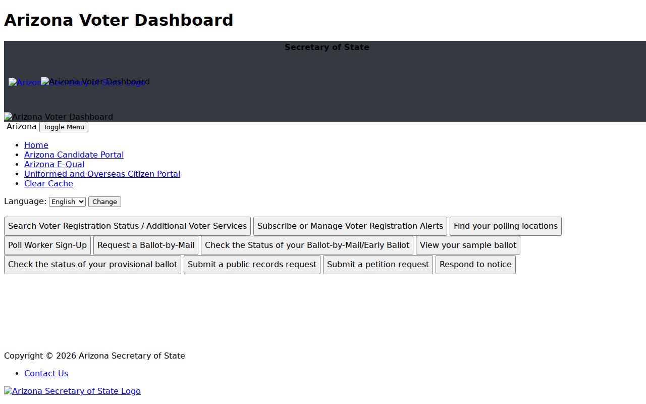
The captured screen supports a self-check after the address and ZIP have been standardized. It does not support browsing every resident in a postal area. Pinal County Recorder Elections is the fallback for a registration correction or a properly authorized data request.
For place evidence in family research, vital records can also record a city, county, or residence tied to an event. Current certificates remain eligibility controlled. Historical Arizona birth images become public after 75 years and death images after 50 years, so the date and legal access rule come before any place comparison.
The Arizona Department of Health Services vital-records page is the source for current applications and eligibility.

This official screen helps distinguish a controlled certificate request from a geographic ZIP search. A place printed on a lawful historical record is one dated clue, not proof of a present mailing address.
Pinal ZIP Codes Changed in 2009
USPS realigned several local 852 codes to 851 on July 1, 2009. The changes were 85242 to 85142, 85243 to 85143, 85245 to 85145, 85247 to 85147, 85272 to 85172, 85273 to 85173, and 85278 to 85178. A street did not have to move for its postal code to change.
Old deeds, city directories, cached pages, scanned newspapers, and family papers may use the former code. Search both forms when research crosses the change date. The legal description and parcel number are the bridge when postal text differs. USPS Postmaster Finder can search historical offices by three-digit range, though USPS warns that its historical listings may be incomplete.
Note: OCR may preserve an old 852 code even when a modern index or map displays the successor 851 code.
Pinal ZIP Boundaries and Cities
A ZIP is a mail-routing tool, not a municipal boundary. Queen Creek spans Maricopa and Pinal counties. Tucson, Marana, Laveen, Hayden, and Winkelman postal labels can appear near county edges without proving the address lies in the city or even wholly in Pinal County. Florence's 85132 delivery area extends beyond town limits. San Tan Valley is a large unincorporated community, so a postal place name does not create a city records office.
- ZIP and ZIP+4
- The five-digit delivery area and an added four digits that narrow a mail segment.
- PO-box ZIP
- A code used for post office box delivery that may have no geographic area polygon.
- Unique ZIP
- A code assigned to one large recipient rather than a normal neighborhood area.
- Carrier route
- A postal delivery path that may cut across other civic or statistical lines.
- ZCTA
- A Census statistical approximation of ZIP use, not an official USPS boundary.
The custodian follows jurisdiction. A parcel inside an incorporated town may lead to that city's permit office. An unincorporated parcel usually leads to Pinal Community Development. Tribal land adds a sovereign jurisdiction layer, and county portals do not replace tribal records. Check the GIS cities and towns layer before filing a request.
The Pinal County ZIP code directory is strongest as a geographic starting point. It cannot identify all occupants, settle a survey line, or make a postal label equal a legal boundary. County parcel lines are illustrative, and a recorded survey or title record controls when boundaries matter.
Pinal County ZIP Research Trail
Pinal County covers fast-growing western communities, farm valleys, mining towns, mountain areas, and substantial tribal lands. That mix creates different address histories. New subdivisions depend on current situs and parcel data. Older Copper Corridor or farm research may lean on deeds, telephone books, tax records, school census material, and newspapers. One postal method will not fit each place.
Keep a compact source trail for each search:
- the USPS standardized address and date checked;
- the county GIS point, parcel, and jurisdiction;
- the Assessor's separate site and owner mailing fields;
- the Treasurer update warning if mailing ZIP was used;
- the former 852 form when the record predates July 2009; and
- the named city, county, archive, or tribal custodian used next.
This record keeps postal, civic, and legal geography from blending together. It also gives a clear route when a search fails. Recheck the exact address, try the historic code, verify the neighboring county, and ask the proper custodian for an existing record series. Arizona Public Records Law requires prompt access to public records, but it does not force an office to create a resident list that does not exist.